46
MODERN MINING
June 2014
EXPLORATION AND
GEOLOGY
feature
D
assault Systèmes, with its GEOVIA
brand (formerly Gemcom Soft-
ware), provides software for the
mining industry spanning explo-
ration and geological modelling
to customer delivery. Its mining software also
includes solutions for strategic mine planning,
scheduling, data management, mine produc-
tion management and reconciliation. Together
with other Dassault Systèmes brand applica-
tions, it provides a unique collaborative 3D ho-
listic view of the mining value chain.
As a pioneer in data management for mining,
starting with GEMS which introduced collab-
orative geology and mine planning software,
and today with its secure remote collabora-
tion software, Hub, we have seen the positive
transformation that such software brings to
businesses. With companies managing portfo-
lios throughout Africa, and indeed the world,
having a system that centralises all projects in
one location has numerous benefits.
Data centralisation of project data ensures
that the information is protected and secure
from data loss, misuse and overwrite with
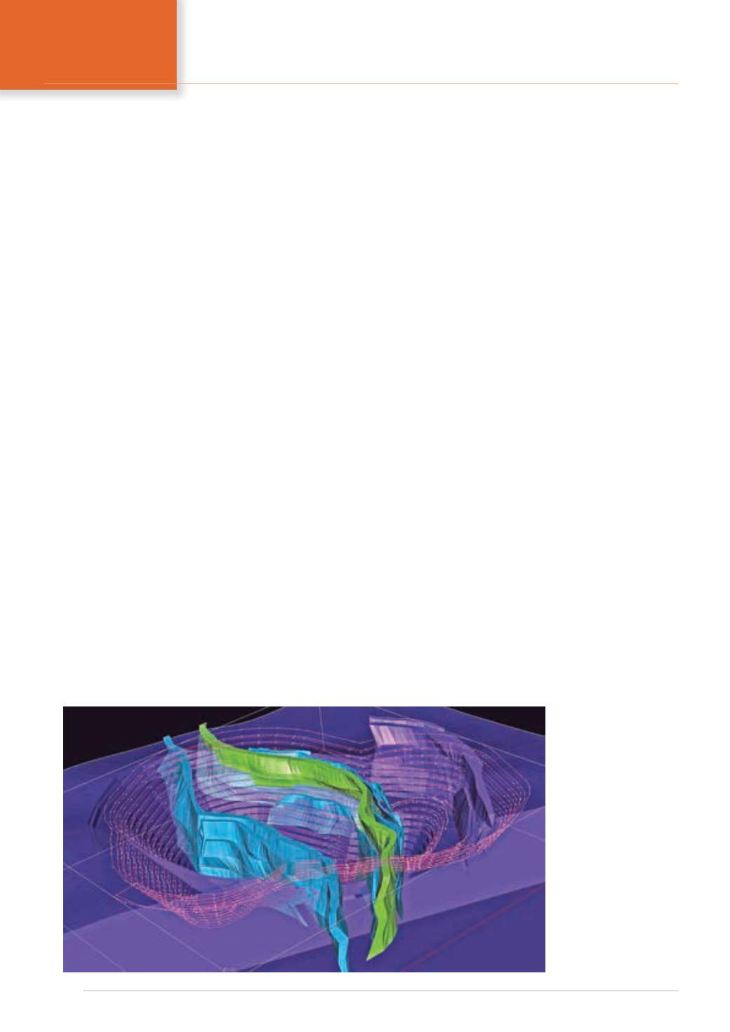
Exploration
projects in a new
3D model of a mine design
with digital wireframe over-
lay and orebody developed
in GEMS.
With many companies running exploration or expansion projects around the globe, it is becoming
increasingly important that they have the ability to manage the data that comprises their portfolios,
writes Dave Osborn, Managing Director of Dassault Systèmes GEOVIA, Africa. This means having
software systems in place that allow data to be centralised, shared, and secured. With limited
exploration funds, it is also critical that mining and exploration companies are able to quickly
determine whether to cease or continue drilling, or proceed with development of the property.
the utilisation of backup and rights managed
access that governs who can access it and how.
This type of system also includes audit trails,
helping to instil confidence in meeting the
requirements of reporting regulations such as
SAMREC, JORC, VALMIN, and NI 43-101.
An additional benefit of centralised data is
to make it available to senior geologists who
can work with it to build models, analyse it,
and review past projects for new opportunities.
In cases where the exploration is being done at
operating mines looking to expand, geologists
and engineers can work with the data from a
central location without ever having to visit
the site.
After enough assay data has been collected,
the next step for a mining business is to deter-
mine whether or not it is worth investing in
additional drilling, or if the project is viable
to go into development. This is the domain of
geological modelling software (such as GEMS,
Surpac and Minex) and the Whittle strategic
mine planning application.
Once a 3D model has been constructed in
GEMS, geologists have a view into the nature
and ex t en t o f t he
deposit. Geostatistical
analysis can help them
decide if additional
drilling is needed to
further refine the model
and the possible oppor-
tunity it represents.
Amongst the lat-
est tools in geologists’
toolkits is integrated
implicit modelling
within geological and
mine planning soft-
ware systems such as
Surpac and GEMS.
This allows them to
interactively create
grade shells from drill


